Since our last release we’ve been working hard on a variety of new improvements. Below is a list with our most noteworthy updates. If you’re looking for further detail about any of the new updates send us a quick message and our support team will be happy to respond.
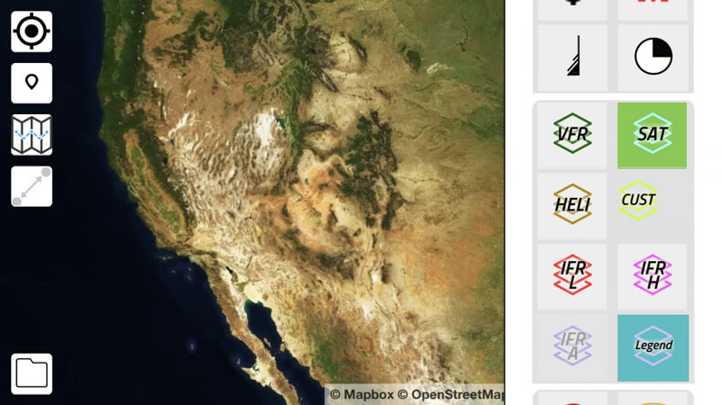
Offline Satellite Layer

The maps & charts module now has an additional layer for offline use. Open the layers menu and toggle on the satellite layer even if you don’t have internet.
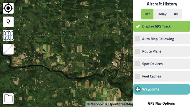
GPS Track Log

Anytime you create a flight, Cirro will now create a track log that can be viewed within the maps & charts module. The new feature provides pilots with even more detailed information about their flights. Simply click on the Airplane & User icon in the top right of your screen and toggle Display GPS Track to review your track log info. At the bottom of the menu are options to save or clear your logs.
Route Plan Distance Labels
The route plan tool now shows the distance between all points in your route plan. Click the route plan tool, create two or more points and the distance labels will be shown above each new line.
Offline Leg Reporting & GPS Hobbs Meter
We’ve made some changes to our leg reporting tool that makes it much easier to capture and report both up and down times. The new tool senses movement and automatically captures both air and flight times. Simply click on the leg reporting tool in the maps & charts module after your flight has been created and select the Automatically Display and Update Legs on Stops button.
Topographic & Night Map Layers (coming soon)
The maps & charts module will soon have both topographic and night layer options. Once testing has been completed, users will be able to toggle either option by opening the layers option in the maps module.
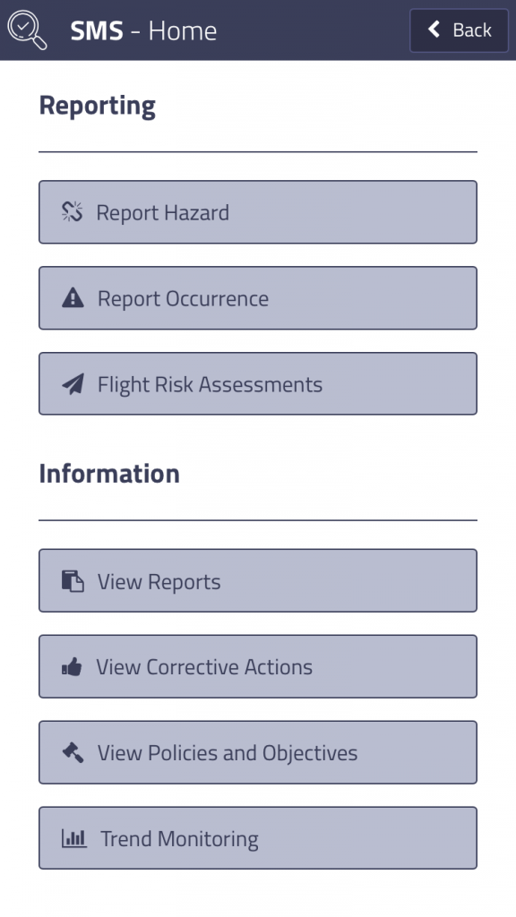
SMS
Cirro’s SMS module is almost finished. We’re in the final stages of testing and plan to launch the new module at the upcoming HAI Heli-Expo. Manage safety, risk and compliance. The app you use for every stage of ops planning and managing – now with SMS.

